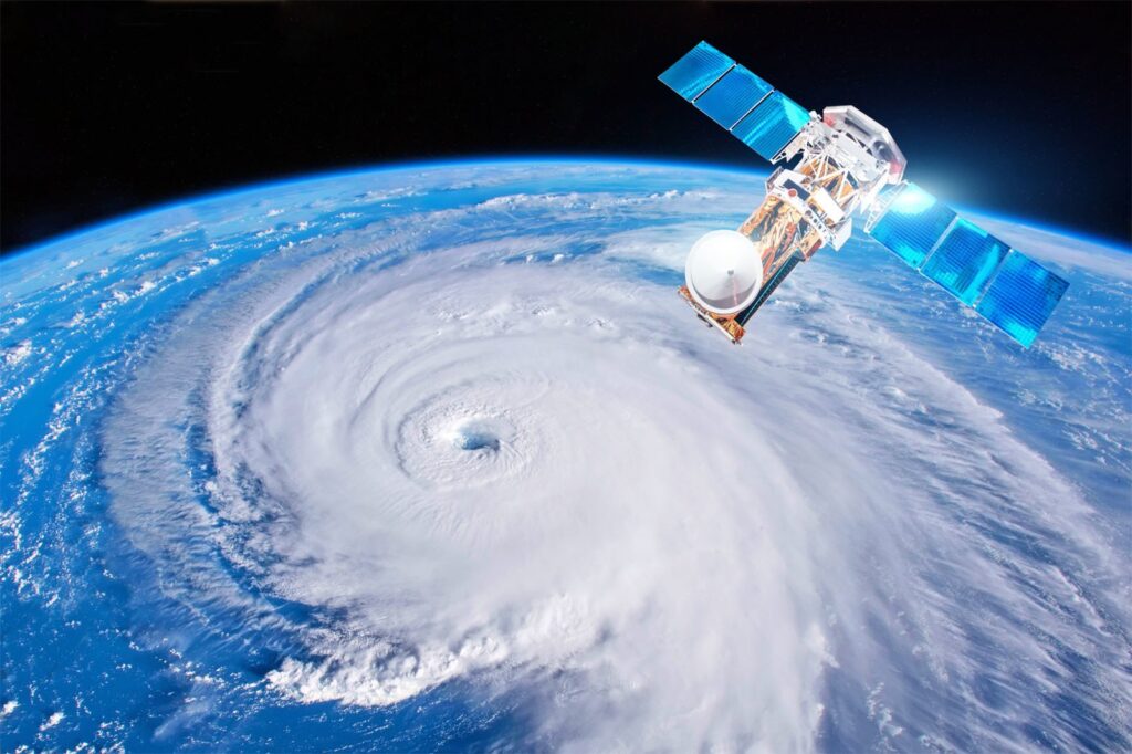
As the peak of the Atlantic hurricane season approaches, the National Hurricane Center (NHC) is closely monitoring a weather disturbance in the Atlantic Ocean that shows signs of potential development. Meteorologists are analyzing the system’s structure, while residents in vulnerable regions are urged to stay informed about possible impacts. This article will explore the details surrounding the disturbance, the conditions conducive to its development, and the expected trajectory.
What is the current status of the disturbance in the Atlantic?
The National Hurricane Center reports that the disturbance, located several hundred miles east of the Lesser Antilles, has a high probability of developing into a tropical cyclone within the next few days. In its latest advisory, the NHC indicated a 70% chance of formation over the next 48 hours, citing warm sea surface temperatures and favorable atmospheric conditions.
Current Situation and Forecast
The disturbance currently exhibits disorganized shower and thunderstorm activity. Although it lacks a well-defined center, forecasters remain optimistic due to the presence of a relatively weak upper-level low that could help organize the system. As of the most recent report, the NHC has outlined various scenarios concerning the system’s potential paths, as displayed in the table below.
| Date | Location | Formation Chances (%) | Expected Impact |
|---|---|---|---|
| September 29 | East of Lesser Antilles | 70% | Possible heavy rainfall and gusty winds |
| September 30 | Approach to Puerto Rico | 80% | Tropical storm or hurricane watch issued |
| October 1 | Central Caribbean | 90% | Potential landfall in Cuba |
The disturbance is situated in an environment conducive to development, characterized by warm water temperatures (around 28°C or 82°F) and low wind shear. These factors can facilitate the organization of thunderstorms and the establishment of a viable circulation pattern.
Historical Context
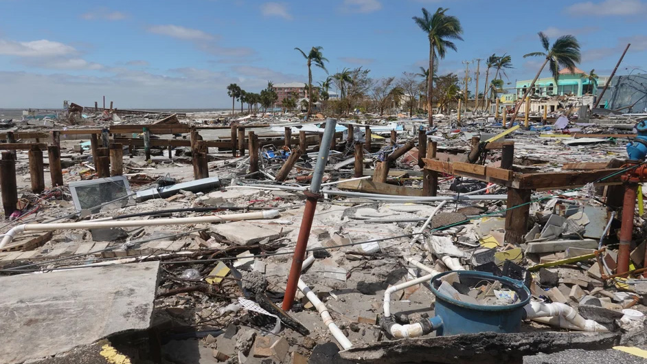
The Atlantic hurricane season officially runs from June 1 to November 30, with September often representing the peak period for tropical cyclone activity. Historical data shows that the month frequently yields the highest frequency of hurricanes. The NHC emphasizes the importance of early preparation as storms can change intensity and trajectory rapidly.
- Notable Storms from Previous Seasons:
| Year | Storm Name | Category | Impact |
|---|---|---|---|
| 2017 | Hurricane Irma | 5 | Major damage in Florida |
| 2018 | Hurricane Florence | 1 | Severe flooding in Carolinas |
| 2020 | Hurricane Delta | 4 | Significant damage in Louisiana |
Community Preparedness
With potential tropical cyclones on the horizon, local governments and emergency management agencies are preparing for possible impacts. Officials recommend that residents heed alerts and maintain a state of readiness. Key actions include:
- Assemble Emergency Kits: Ensure you have essentials such as food, water, medications, and important documents.
- Stay Informed: Monitor local news and weather forecasts for updates on the disturbance and any potential evacuations.
- Review Emergency Plans: Discuss with family members what to do in the event of severe weather.
Residents in coastal areas should also consider potential storm surges and flooding, even if the system does not make direct landfall.

Conclusion of Potential Impacts
While it is too early to determine the precise impact of the disturbance, the high likelihood of development suggests that preparation should begin immediately. Forecast models continue to refine their predictions, with pathways varying from a direct hit on land to a receding out into open waters. Understanding that forecasts can change, especially in the early stages of cyclone development, is crucial.
The NHC will continue to monitor the situation closely and provide updates. Additionally, the public can track the disturbance through various online platforms, including the NHC’s dedicated website and social media channels.
Summary
The situation surrounding the disturbance in the Atlantic is evolving, with significant attention from the National Hurricane Center and local meteorological offices. With the potential for development in the coming days, residents must remain vigilant and prepare for any eventual impact. By understanding the science behind tropical cyclones and staying informed about this particular disturbance, communities enhance their resilience against the hazards posed by such natural events.
As the region braces for possible future storms, local governments, emergency services, and meteorological experts will play vital roles in ensuring public safety and efficient management of resources. By capitalizing on the early warnings and preparation advice from the NHC, residents can take proactive steps to safeguard their families and properties against potential threats.

